LE MALZIEU - APCHER

walrou63
User
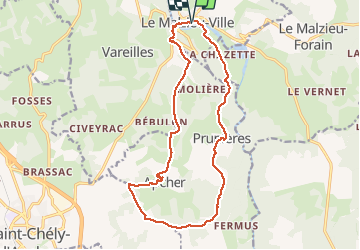

Length
17 km

Max alt
1113 m

Uphill gradient
417 m
Km-Effort
23 km

Min alt
858 m

Downhill gradient
417 m
Boucle
Yes
Creation date :
2020-08-12 07:18:31.503
Updated on :
2020-08-24 14:51:28.581
4h21
Difficulty : Medium

FREE GPS app for hiking
 SityTrail
IGN / Geographical institutes
SityTrail Plus
The world is yours!
About
Trail Walking of 17 km to be discovered at Occitania, Lozère, Le Malzieu-Ville. This trail is proposed by walrou63.
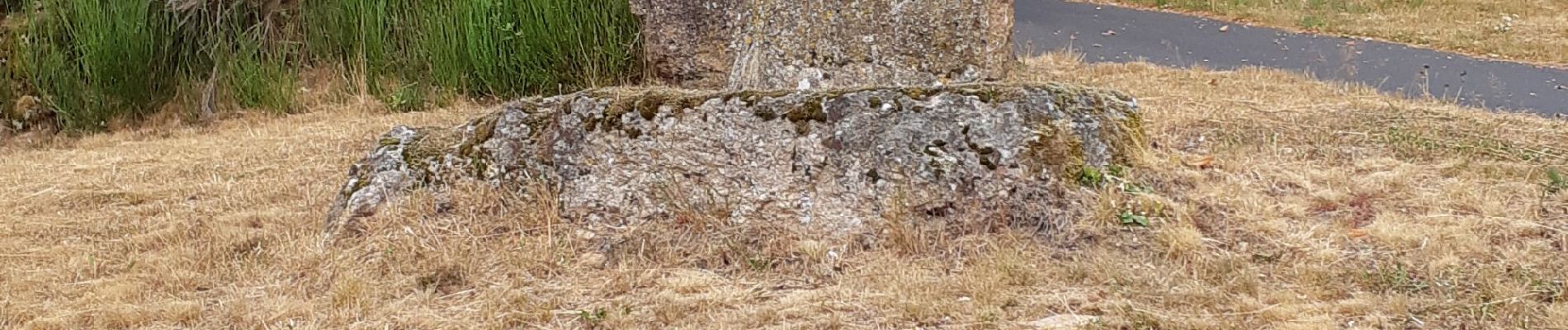
Photos


33 photos in total. Please click on a photo to see them all in the gallery.
Positioning
Country:
France
Region :
Occitania
Department/Province :
Lozère
Municipality :
Le Malzieu-Ville
Location:
Unknown
Start:(Dec)
Start:(UTM)
526246 ; 4966890 (31T) N.
Comments